
The Coastal Landscape of Sizewell
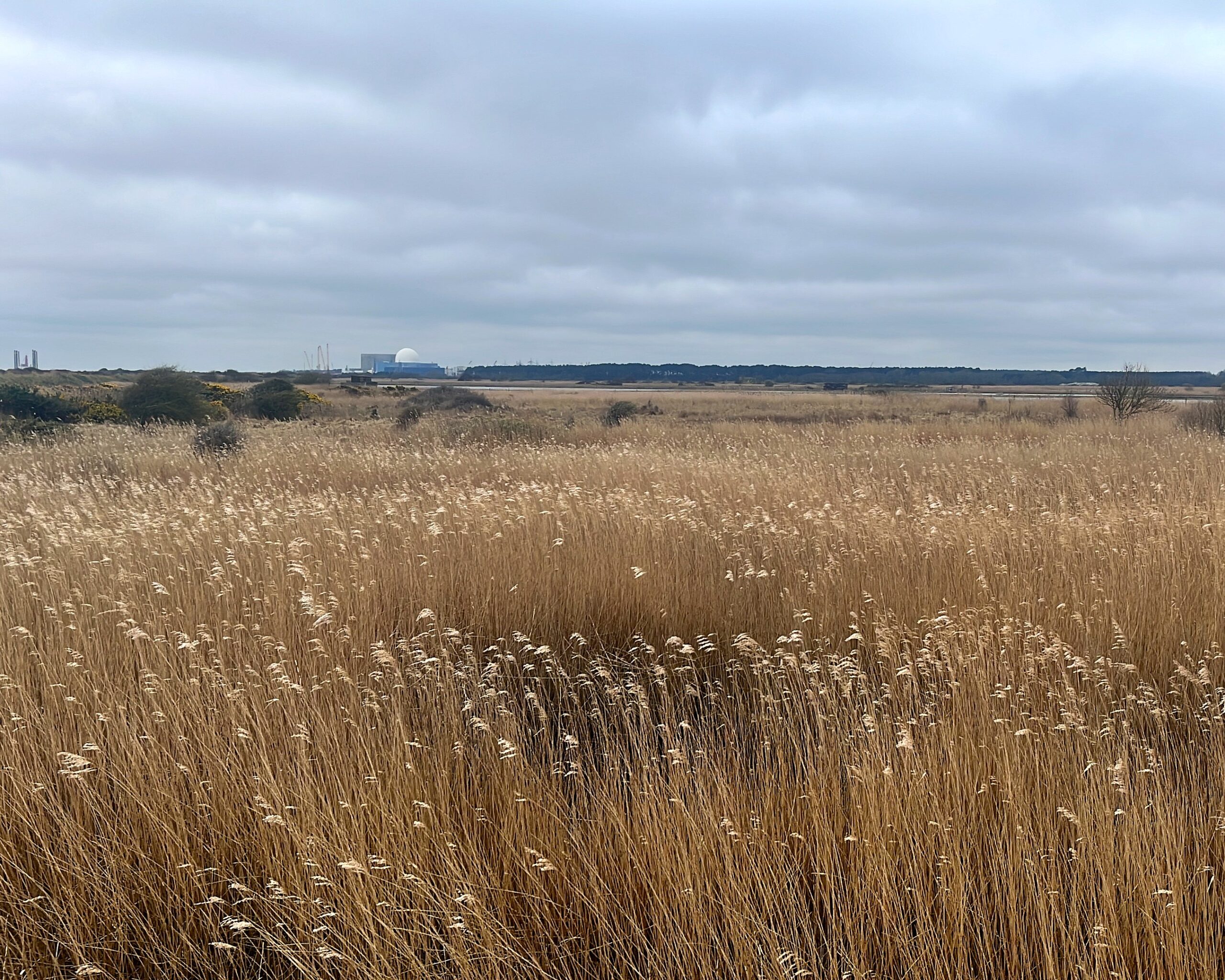
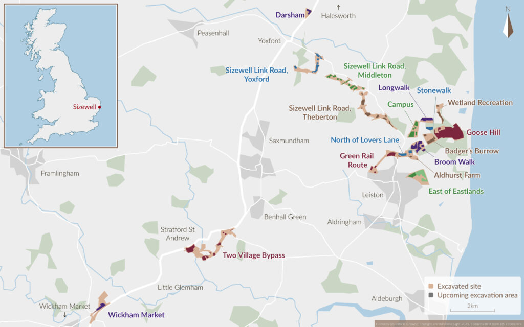
Along the Suffolk coastline, Oxford Cotswold Archaeology has been excavating more than 70 sites ahead of the construction of the Sizewell C nuclear power station. With many of our excavation areas lying less than 3 km from the North Sea, each site we dig reveals another chapter in how this landscape has been shaped and reclaimed over thousands of years by both people and nature.
The coastal landscape we see today, a range of marshland, farmland, woodland, and modern infrastructure, continues the long story of a landscape moulded by the sea. The Sizewell C project offers a rare opportunity to trace how people have lived with, and adapted to, life at the restless edge of the North Sea
A Sea Change
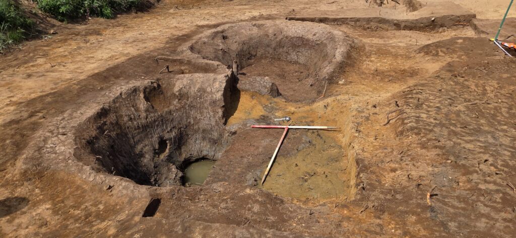
Although the North Sea cannot be seen from our excavation areas, its influence on the coastline is clear within the archaeological record. Beginning with some of earliest archaeology, OCA has uncovered extensive Neolithic activity across the Sizewell C project, including multiple storage pits dug over 5,000 years ago to hold goods and resources.
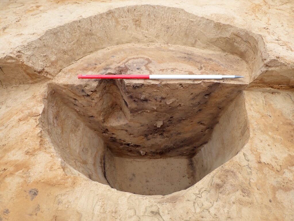
These pits were originally cut into firm, dry ground, yet the same locations now may experience seasonal flooding. This difference is a striking contrast that highlights how dramatically the environment has changed over millennia.
Image: section of Neolithic storage pit with 1m scale
Environmental analysis reinforces this long-term pattern of coastal movement. For instance, the Wetland Habitat Creation Zone was once a tidal marsh at the edge of the shoreline, but now lies further inland as the coast has gradually shifted westward
Roman Saltworks
The coastline has long been a vital resource for the communities who settled along it, and the Roman activity discovered at Goose Hill and within the Wetland Habitat Creation Zone highlights this enduring relationship. OCA has uncovered evidence of Roman salt production, showing how people in the area made use of coastal resources as part of their wider economic activity. These salterns, where seawater was evaporated to produce salt, contained shallow clay pans used in the process. At both locations, large quantities of briquetage were recovered: broken pieces of the clay vessels used during salt making.
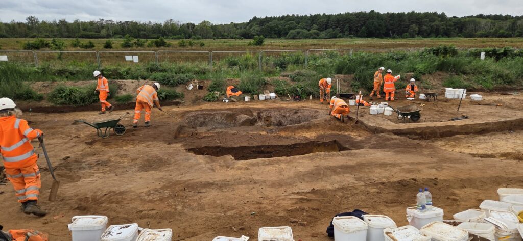
Analysis by OCA specialists shows that many of the fragments came from ceramic pans which had been built by coiling rolled clay. Their colours, ranging from deep reds to pale pinks and greys, reveal exposure to intense heat and salty brine. Many pieces also display a thin “salt scale,” formed as dissolved salts rose to the surface during drying. In some cases, this scale melted into a grey glaze, indicating that Roman salt makers worked with high temperatures and employed skilled firing techniques
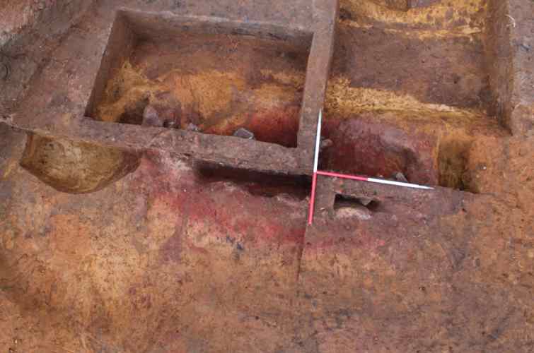
The salterns’ position close to the shoreline made salt production practical, and we have evidence of trackways linking these coastal working areas to an inland settlement where it is possible seasonal labourers lived.
Image: aerial view of salterns during excavation with 1 x 1m scale
Medieval Marshes
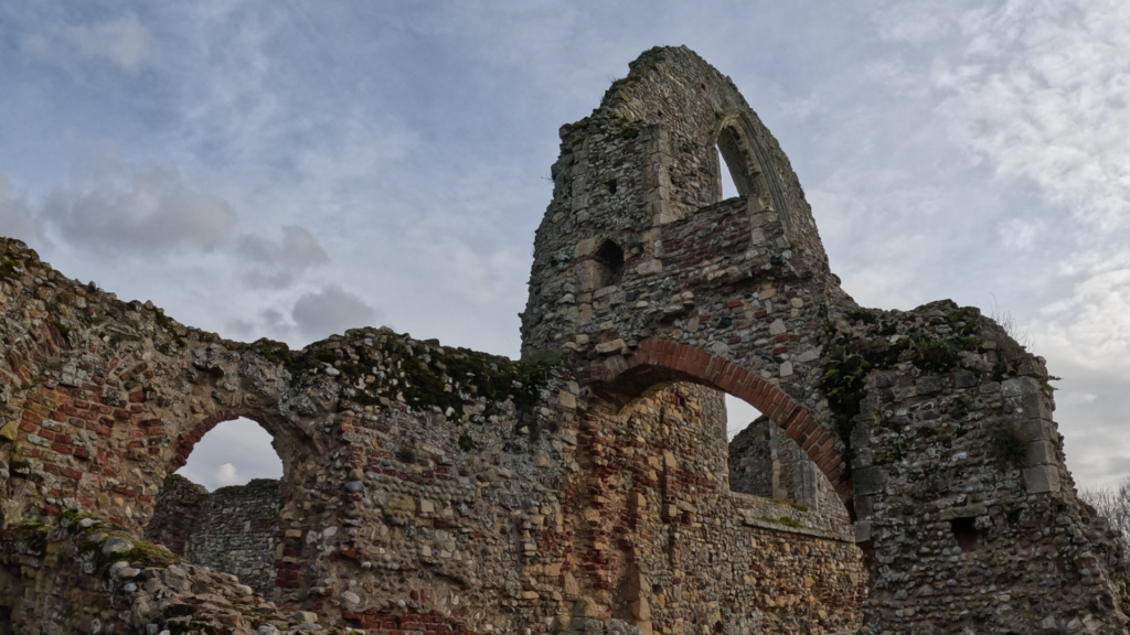
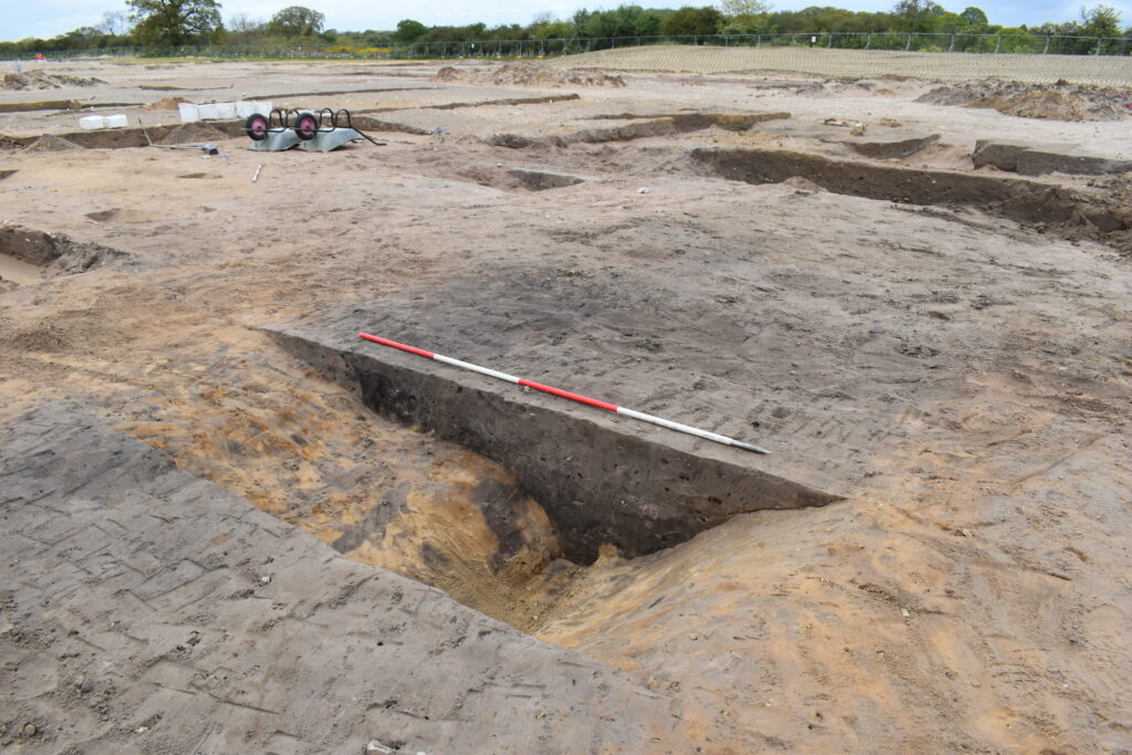
As shorelines have advanced and retreated, and marshes have formed and vanished, communities have been challenged to adapt to the local environment. The relationship between the North Sea and the medieval activity at Leiston Abbey is clear in both the historical and archaeological record. The original abbey, founded in 1183, stood much closer to the modern‑day shoreline. The canons of the abbey managed a large estate that included heathland, woodland, and marshes, and they drained wetlands to create grazing and farmland. OCA’s excavations of their medieval ditch systems show that these features were repeatedly recut and remodelled to continue to support the estate’s needs.
Pollen analysis from the ditches conducted by our environmental specialists shows how the local environment changed during the medieval period. At first, the ditches held open water and supported plants suited to this type of habitat. But as the ditches slowly filled with silt or were left to fade out, they turned into marshy ground and the plant life changed. Over time, this marsh developed into wet heath, reflecting the natural shift in the wider landscape from grassland to heath. Other material collected from these medieval soil samples, such as molluscs, fish bones, and small mammal bones, shows how people were using the marshland at the time. Because some of these remains were preserved in waterlogged conditions, they also reveal when water levels rose or fell, giving us clues about how the coastal landscape was managed, drained, or allowed to flood during the medieval period.
By the 14th century, increased flooding became more common and the coastline experienced strong storm surges, which made living and working at the abbey unviable. In 1344 – 45, the abbey reported extensive flood damage to buildings and a reduction in the abbey’s income. Consequently, soon after 1365 the community abandoned the original site and moved inland, transporting stone and materials to build a new abbey on firmer ground, where the ruins stand today. The changing tides have repeatedly transformed the area surrounding Sizewell, turning former farmland or settlement areas into seasonally flooded ground, while old marshes have dried or been reclaimed.
Wartime on the Horizon
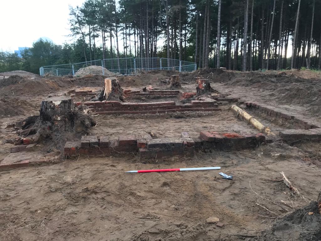
The 20th century added another chapter to Sizewell’s coastal story. Suffolk’s beaches were considered vulnerable to invasion, and so the coastline was quickly transformed into a defensive zone. Excavations have uncovered a network of pillboxes, in particular a type known as Suffolk Square, positioned across the wooded hills overlooking the shoreline. These concrete structures acted as lookout points and firing positions for troops guarding the East coast.
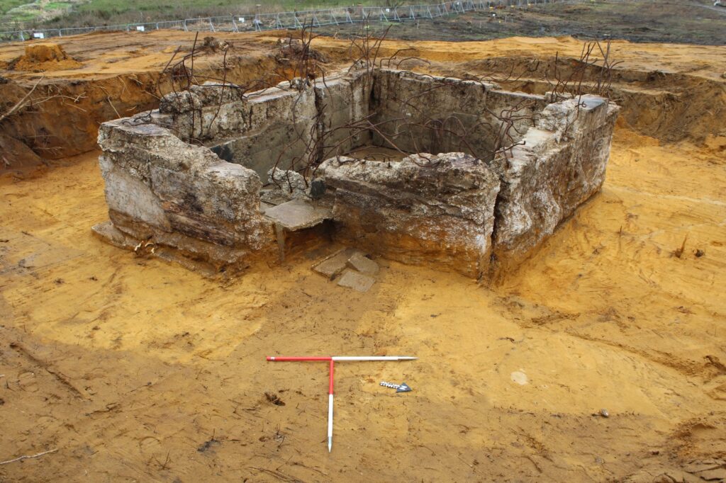
Our archaeologists excavating Goose Hill have also identified associated features and activity such as trenches, weapon pits, and communication routes linking the pillboxes together. This military activity shows how the landscape was adapted for defence, by turning quiet coastal heath and woodland into a fortified location. Although many of these structures are now hidden by vegetation or softened, the archaeological evidence preserves a clear record of how Sizewell’s coastline played its part in Britain’s wartime preparations
Across all these periods, one theme remains constant: the sea has shaped the Suffolk coast, its people and their way of life.