The A66 Northern Trans-Pennine Project
North-West of Warcop
Location
Cumbria
Time Period
Neolithic,
Roman,
Client
National Highways,
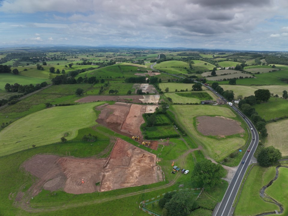
At the southern edge of the A66, ongoing excavations north-west of Warcop are unearthing fascinating traces spanning from the Late Mesolithic (-7000 to -4000 BCE) through to the Roman period (43 – 410 CE), revealing the area’s long-buried stories.
Video: drone footage of the uncovered Roman road alongside the modern A66
Roman road revealed!
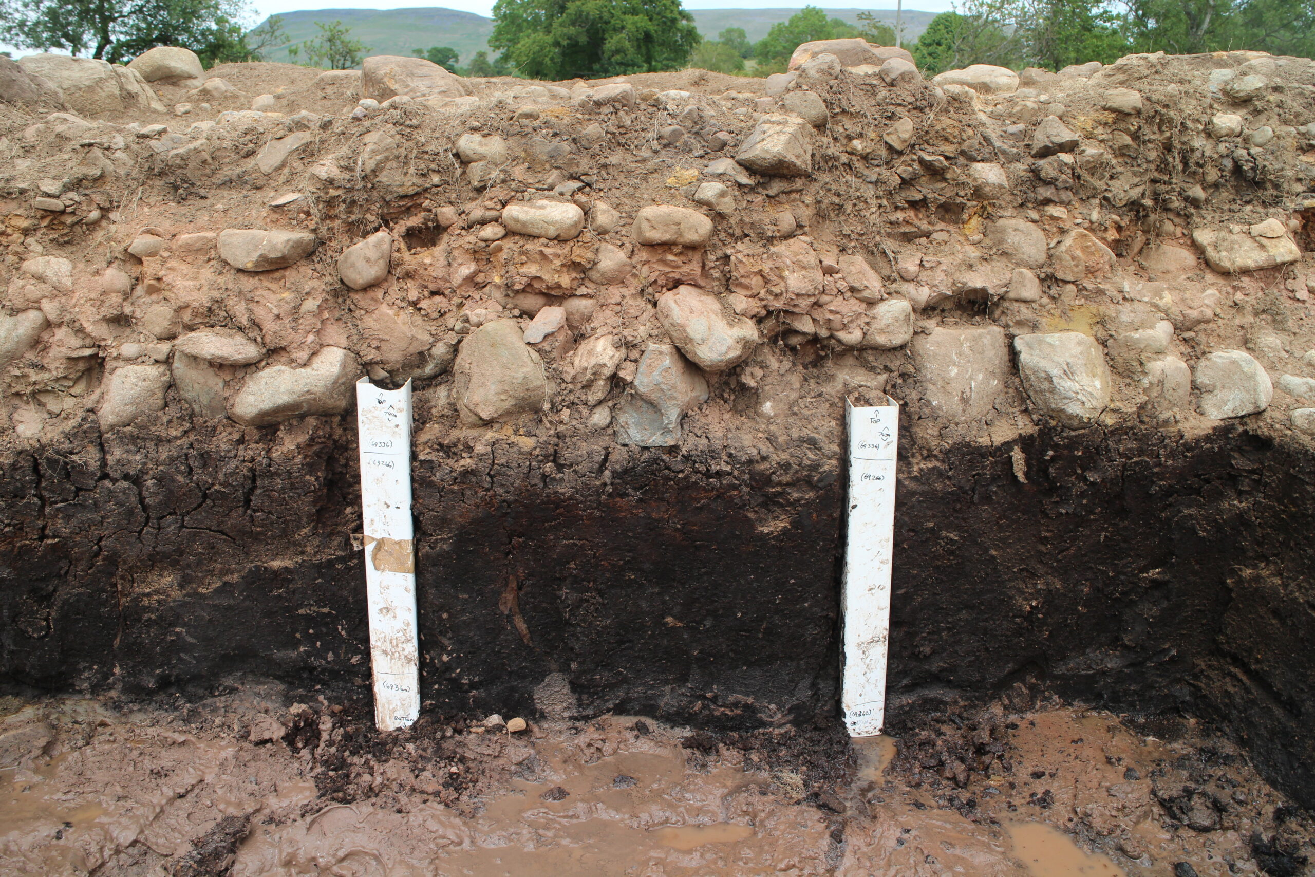
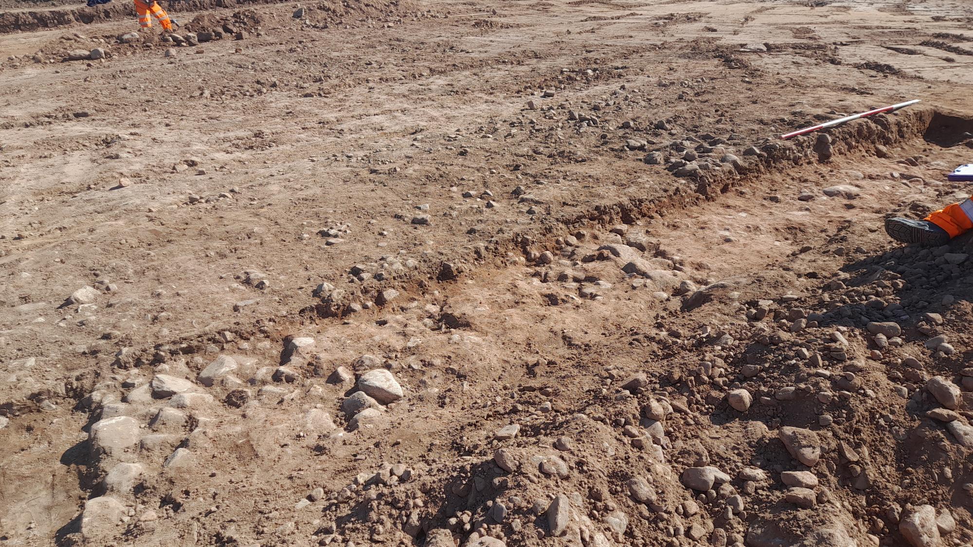
Excavations around Wildboar Hill area have uncovered striking evidence of Roman presence in the area. The dedicated team has revealed nearly 600 meters of Roman road crossing a low-lying boggy area with built up peat deposits, where the A66 deviates (seen above), complete with original cobbles and a clearly defined agger embankment. Among the finds are a Roman coin and a finely crafted fibula. The areas of peat deposits that have built up overtime and underlay the road hold useful paleoenvironmental (ancient environmental) information. As seen below, archaeologists can study these layers through various sampling methods (see below) with the aim of uncovering past environmental data. These discoveries bring to life a landscape steeped in human activity spanning thousands of years, highlighting the profound archaeological importance of the Brough area.


Neolithic wonder – once lost, now found
There have been some exceptional Neolithic finds along the Wheat Sheaf Bridge area including a decorated fragment of Peterborough ware pottery dated to the middle/later Neolithic, a rare find in Cumbria. Its presence raises fascinating questions: how did it reach this landscape?
The find hints at long-distance movement and trade networks, suggesting that people were travelling, exchanging goods, and sharing ideas across distant regions thousands of years ago. Each discovery adds a new piece to the puzzle of how prehistoric communities connected across the British Isles.
Image: large sherd of Neolithic Peterborough ware pottery

Blades in the grass: lithics revealed by fieldwalking
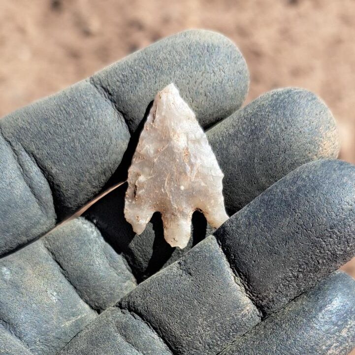
Fieldwalking around Warcop Castle Field has revealed an astonishing haul of over 100 stone tools, from delicate blades and scrapers to sturdy knives, tracing a story that stretches from the Late Mesolithic through the Neolithic and into the Early Bronze Age. Fieldwalking is a systematic method used by archaeologists to survey a field (before excavation). This is done to aid the understanding of archaeological potential in an area.
Meanwhile, at Castrigg West, archaeologists have unearthed 82 more expertly worked lithics, offering a rare glimpse into the lives of Late Mesolithic communities who once lived across this landscape thousands of years ago.
Image: Bronze Age flint arrowhead