
The A66 through history: A road that built connections
Date Written
21 October 2025
Author
Maria Bellissimo
Today, the A66 Northern Trans-Pennine route is one of the most important cross-country routes in the North of England. It supports local and national trade via traffic linked commerce, and connects communities across Cumbria, County Durham, and North Yorkshire.
But this isn’t the first time the route has played a vital role in the life and economy of the region. As we look forward, towards the A66 Northern Trans-Pennine upgrade, it’s also important to look back.
Long before tarmac and traffic, the corridor now followed by the A66 was already a well-worn path through the landscape, used by hunter-gatherers, early farmers, Roman soldiers and settlers, and medieval traders. As the A66 upgrade progresses, the Oxford Cotswold Archaeology (OCA) team is uncovering the stories of those who came before.
Our story begins over 12,000 years ago, at the end of the last Ice Age. As glaciers melted and the climate warmed, people began moving back into what we now call Britain. At this time of change, Cumbria was also a landscape still in transition with remnant ice caps clinging onto the high mountains, slowly receding and feeding fresh water into the lakes we now see today. During this period, much of the North Sea was still dry land, part of a region known as Doggerland. This vast landscape connected Britain to mainland Europe and served as a key migration route for early hunter-gatherers, as well as the wild animals they hunted.
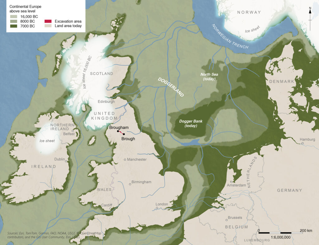
Image: map showing the extend of Doggerland and A66 excavation areas
Evidence from the A66 project near Sandford Mire, between Appleby and Brough, shows that people were already using this area during the Late Upper Palaeolithic (40,000-10,000 BCE) and Early Mesolithic (10,000-7000 BCE). Flint tools left behind on high ground overlooking wetlands suggest temporary campsites: places to stop, rest, and hunt. These mobile communities most likely travelled from East to West, following river valleys and hill passes which define the course of the modern A66.
The different types of prehistoric stone tools (such as arrowheads for hunting, blades and scrapers for preparing food and hides) show us that, people were exchanging materials across great distances, using the A66 corridor for those trading networks. We have found high-quality black translucent flint from East Yorkshire, pitchstone from the Isle of Arran off the west coast of Scotland as well as chert sourced from local Cumbrian limestones. But these connections worked both ways. Into the Neolithic (4000-2200 BCE), many polished stone axes, made in the mountains of the central Lake District in Cumbria have been found in East Yorkshire and further south on the east coast, as well as more widely in other parts of Britain and Ireland. Stone tools, livestock, and people were also moving regularly between the coasts.

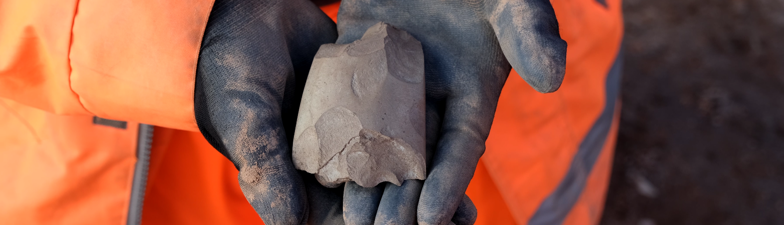
Image: selection of flints found on A66

Image: worked black flint from East Yorkshire
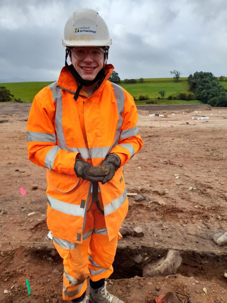
Image: archaeologist Darcie holding stone axe found in feature
Some of these journeys might have brought people together at meeting places like King Arthur’s Round Table and Mayburgh. The henges that are still visible there, built within the Neolithic period, may have served as safe places for trading, coming together, celebrating seasonal festivals, and establishing or renewing connections among groups of people from afar.
The transition from hunting and gathering in early prehistory to more agricultural lifestyles in the Neolithic and Bronze Age changed the ways people moved around the landscape.
Fieldwalking and test-pitting as part of the A66 archaeological programme have recovered lithic artefacts from this period, offering glimpses of life among Britain’s first farmers. These communities shaped the landscape with fields, paths, animal pens, burial mounds, and sites like the henges. Their way of life laid the foundations for the economic use of the landscape and changed their perception of and relationship with their environment.
With the arrival of the Romans in northern Britain, the landscape of the A66 was transformed again, this time with roads, forts, trading posts, and a regional economy connected to a much wider world. One of these roads ran from the fort at Brougham, near modern Penrith, to Scotch Corner across the Pennines. This is the route we now know as the A66.
Our archaeological excavations at Brougham have uncovered extraordinary details of this Roman landscape. A vicus, or civilian settlement, grew up outside the fort, housing traders, artisans, families, and others who supported the military community.

Image: Neolithic quernstone within the section of a pit
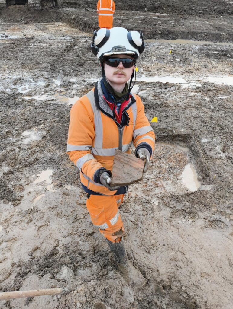
Image: archaeologist Aiden holding piece of Roman amphora
Amphorae (seen above) from Southern Spain carried olive oil to the fort and vicus. Olive oil was the lifeblood of Roman cultural life, being used for religious ceremonies, lighting, and cleansing, as well as cooking. Just as indispensable was wine typically from Gaul (ancient France), which was mixed in, and consumed from, samian ware (seen below) and other fine ceramic tablewares imported from Gaul. And no meal would have been complete without the addition of that famous Roman delicacy: garum, the fermented fish sauce, imported to Brougham from Spain.
These foods, coming from so far away and symbols of the Roman way of life, show that Brougham was not a distant place near the frontier, but part of an international network of trade and culture that stretched across the empire, from North Africa and the Mediterranean to the edge of Hadrian’s Wall.
Much of the food supplied to the fort and settlement, though, was produced locally in the farms dotted in the countryside along the road. Travellers using the road would have seen crops or grazing animals in the fields that lined the route. Our team has identified a grid of Roman field systems and ditches near Brough; and with analysis of the plant remains and radiocarbon dating, we may soon have more detail on how these local farms supported Roman life along the A66.

Image: decorated samian ware
The A66 has always been more than just a road. It has been a lifeline, a boundary, a meeting place, a route shaped by and shaping human lives for thousands of years. From the first people who crossed the hills after the Ice Age, to Roman merchants and medieval drovers, to lorry drivers, commuters, and tourists today, we’re rediscovering how this road has always connected us, not just east to west, but past to present.
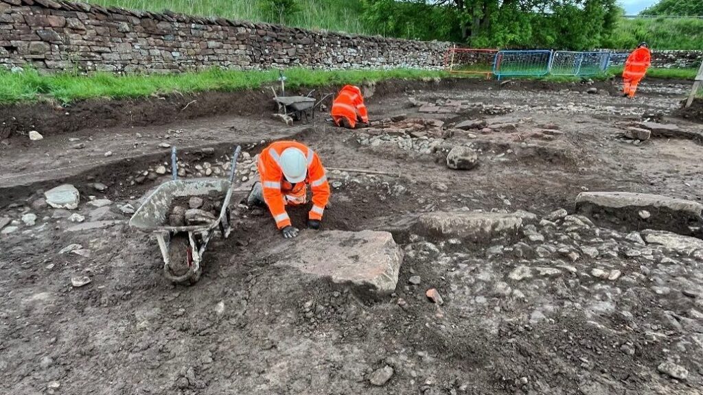
Image: archaeologists excavating Roman vicus settlement near Brocavum Roman fort